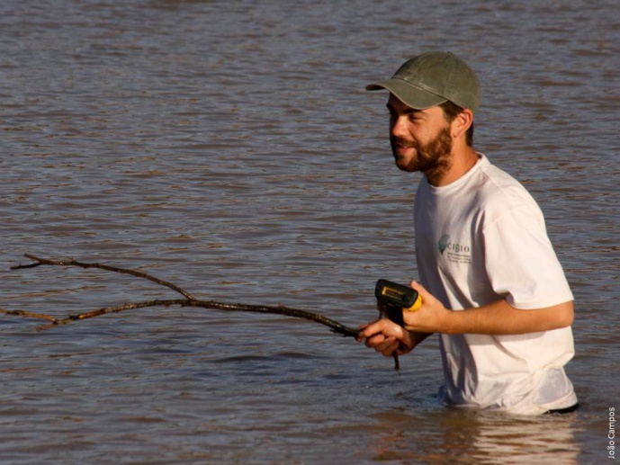
João Campos
Post-Doc Researcher
My research focuses on the exploration and application of geospatial tools, such as remote sensing (RS), geographic information systems, and ecological modeling, to investigate the key drivers of environmental and landscape changes across multiple spatial and temporal scales.
During my PhD, I explored landscape connectivity in desert environments using remote sensing techniques, specifically to characterize land use in arid and semi-arid regions and to assess the functional connectivity of water-dependent species in North Africa.
As a postdoctoral researcher, I have worked on different interdisciplinary projects to develop advanced geospatial methodologies that evaluate how nature-based solutions might influence landscape structure, biodiversity conservation, and the provision of ecosystem services. Specifically, my work has been focused on assessing how land use change impacts ecosystem services such as wildfire mitigation, climate regulation, and biodiversity conservation, particularly in protected areas across different ecosystems.

