SeverusPT - A web-based data product and service for fire severity assessment and prediction in mainland Portugal
The challenge
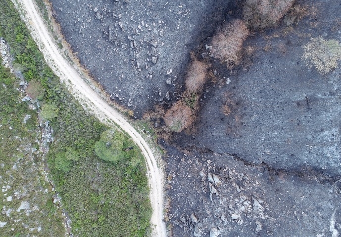
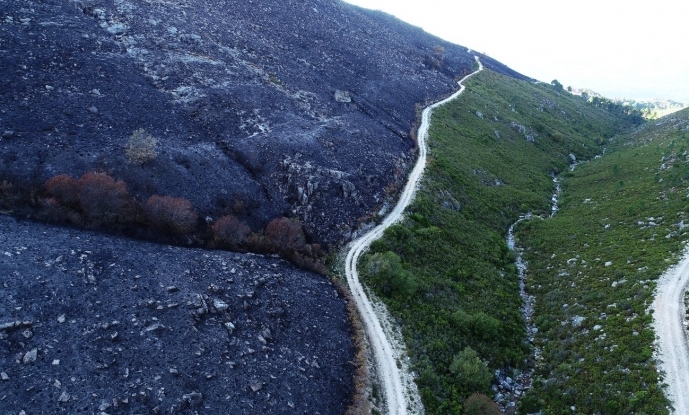
Despite the vast investments in fire suppression, the frequency of extreme fire events has been increasing. These extreme events, exacerbated by climate change and fuel accumulation, often override the capacity of fire suppression systems, putting human lives and livelihoods at risk. Assessing and predicting the effects of those events on ecosystems – i.e., fire severity – is paramount for effective fire prevention and fighting. In this regard, the growing amount of satellite remotely sensed data enable a wide-scale integrative characterization of fire effects. Satellite-based indicators of ecosystem functioning (fluxes of matter and energy) can be especially useful to assess fire severity, and they can be fed into modeling frameworks to predict potential fire severity.
Surprisingly, there is a major gap of publicly available, standardized, and validated datasets on fire severity. The SeverusPT project proposes to overcome this gap by developing a framework for assessing, mapping, and predicting fire severity based on satellite-derived indicators of ecosystem functioning related to carbon, water, and energy balance. This framework will be developed, tested, and validated at several spatial scales in mainland Portugal.
Objectives and workflow
The main objectives of SeverusPT are:
(1) To involve key stakeholders in the co-design and development of a useful fire severity product and web service and to capacitate them to apply the product/service in relevant fire management contexts;
(2) To identify, evaluate and process satellite remotely-sensed data and in-field datasets with higher relevance for continuous measurement, modeling, and prediction of fire severity;
(3) To select, compute and validate the most informative remotely-sensed indicators of ecological fire severity in mainland Portugal;
(4) To develop and evaluate fire severity models with high explanatory and predictive power, based on observed severity time series, fire traits, and environmental predictors;
(5) To design, develop and test a web-based service for automated and continuous provision of fire severity products that can be useful for short to long-term fire management.
SeverusPT will implement an extensive program for connecting with the public administration and other key stakeholders, the scientific community, and the general public. The most relevant national stakeholders dealing with fire management, spatial planing and land management, and Earth observations, will be involved in the co-design and development of the fire severity products and service. The project will promote continuous communication with the general public through dedicated web-based platforms, social media, traditional media outlets, and talks at national events.
Open science principles will be applied throughout the whole project, including the use of open data, the publication of new data in open repositories, the use and development of open-access software, and the free access to fire severity products.
The team
The SeverusPT consortium will be headed by InBIO/CIBIO-ICETA (ECOCHANGE research group) and includes IPVC as a second partner institution. The SeverusPT team holds solid experience in indicator-based fire mapping, fire simulation and prediction under alternative land use and fire suppression scenarios, fire severity assessment, modeling, and fire effects on ecosystem functioning and services. The team also holds ample experience in remote sensing tools applied to land system analysis and modeling and post-fire recovery assessment and modeling.
Workflow
Adrián Cardil; Domingo Alacaraz-Segura; Joaquim Alonso


